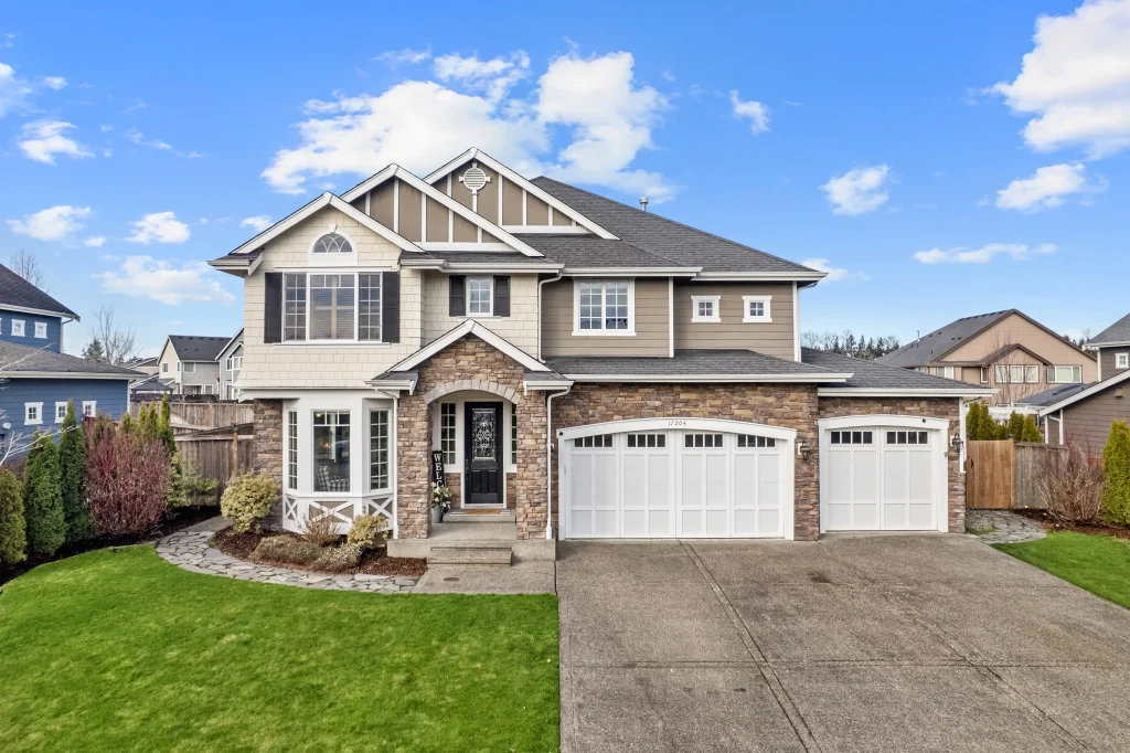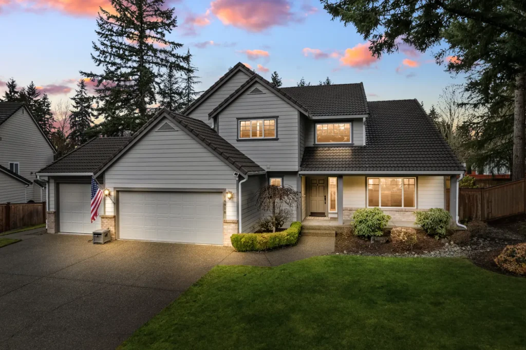


Standard photos do a great job showing the inside of a house. But for waterfront homes in Gig Harbor, standing in the yard with a camera rarely captures the true beauty of the shoreline. This limitation often leaves sellers wondering if they should get aerial drone photos.
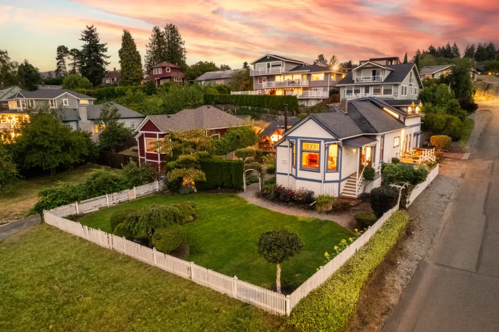
Elevating the camera changes the entire perspective. By utilizing professional drone photography services, property owners can highlight water access and neighborhood layouts in a way that basic pictures simply cannot match.
When to Get Aerial Drone Photos?
Adding aerial views depends on the unique features of a property. Sellers should use overhead images when ground cameras miss important outdoor details, such as complex waterways or dense forests.
Using drone photography services can be effective when the layout of the land is a key selling point. A high angle provides instant context, clearly showing the exact length of a driveway or capturing accurate updates on exterior renovations.
The Spatial Context Rule
This rule helps professionals show a home’s value through its relationship with the surrounding area. You should use aerial photos if a property meets any of these three criteria:
- Waterfront Proximity: The home has a view of the Puget Sound, a private dock, or direct beach access.
- Scale and Acreage: The lot is larger than 0.5 acres and needs an overhead view to show clear property boundaries.
- Community Connection: The home is a short walk from a park, a golf course, or downtown Gig Harbor.
Highlighting Unique Waterfront Features
Gig Harbor is famous for its beautiful shorelines and active marinas. Standard photos taken from the back porch rarely show the true distance to the edge of the property.
Using drone photography services solves this issue by capturing specific shoreline features clearly. An elevated view allows potential buyers to easily see:
- Private Docks: The size and condition of the boat slip or pier.
- Beach Access: The direct walking path from the back door to the sand.
- Water Clarity: The actual look and feel of the water right off the property.
This clear view builds interest fast and helps viewers visualize their future lifestyle.
Showing the Neighborhood Layout
Location matters greatly when buying a new home. Buyers want to know what surrounds the property before they schedule a visit. Ground photos cannot capture important community details effectively.
Adding drone photography services to a listing provides a spatial map of the local area. This helpful visual context allows buyers to spot:
- Distance to the Water: The exact route to the local public harbor.
- Community Features: Nearby parks, walking trails, and public boat launches.
- Property Privacy: The density of surrounding tree lines and the distance to neighbors.
This visual context helps buyers feel very comfortable with the neighborhood before they ever drive through it.
Capturing the Full Property Line
Large properties present a unique challenge for standard cameras. If a home sits on multiple acres, a single ground photo cannot capture the entire boundary. Buyers might feel confused about where the yard ends and the neighbor’s land begins.
Reliable drone photography services fix this confusion quickly and easily. A drone flies high enough to capture the entire parcel of land in a single frame. This high perspective highlights:
- Lot Shape: The true size and boundary lines of the land.
- Driveway Length: The distance from the main road to the garage.
- Extra Buildings: The exact location of guest houses or large sheds.
Why Hire a Licensed Drone Operator?
Capturing residential real estate from the air requires skill and proper licensing. Professional operators know how to capture smooth video and clear pictures while following local safety rules. They understand the right time of day to fly for optimal lighting.
Experts use advanced cameras that handle bright water reflections smoothly. Trusting trained professionals ensures the final images look sharp and realistic. This high level of quality makes the property look very attractive to online viewers. It prevents the listing from looking blurry or poorly managed.
Book Expert Drone Photography in Gig Harbor
The visual presentation is a major part of the selling process. Choosing the right visual tools helps buyers see the true potential of your space. Proper visual marketing saves everyone time by answering questions before buyers even arrive for a tour.
Comerford Real Media provides comprehensive visual services for homes in Gig Harbor. Our FAA Part 107 licensed and insured remote pilot will capture your waterfront property accurately and safely.
We offer high-quality drone photography services and digital media solutions to support your marketing goals. Contact Comerford Real Media today to schedule your next property shoot.