


Pierce County properties feature massive evergreens and steep terrain. Standard photos work for flat suburban lots, but five acres of rolling hills require a different approach. Ground shots fail to show the true scale of the land. Buyers prefer to understand what they are buying, making real estate drone photography essential for large or complex parcels.
Why Full-Property Visuals Drive Higher Offers
Full-property visuals drive higher offers because they quickly demonstrate the land’s usable value. Buyers looking for acreage care about the lot just as much as the house. If your listing only relies on standard ground photos, shoppers may miss the scale of the property and assume the land is steep or unusable.
Highlighting clearings and terrain from above eliminates that doubt. It shows buyers exactly what they are paying for, which supports a stronger asking price. This visual proof attracts serious buyers who recognize the value of the space, translating directly into stronger offers.
How Do You Photograph Wooded Acreage Properties?
Capturing wooded acreage involves moving the camera above the tree line. A standard setup on the driveway only captures the front porch and a few nearby trees. It misses the running creek in the back and the usable flat space near the property edge. You must shift to an aerial perspective to show the true layout of the land.
The PNW Topography Capture Formula
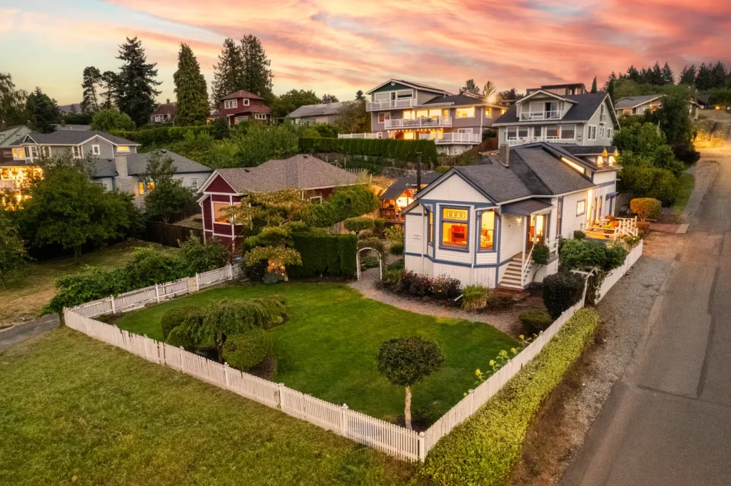
Forget street-level shots for heavy timber and sloped lots. Professional real estate drone photography relies on two specific angles to map these complex properties. You use top-down mapping to outline approximate property boundaries, and 45-degree elevation angles to reveal the true slope of the ground hidden under the Pacific Northwest tree canopy.
Comparing Visual Strategies
Here is a breakdown of why aerial views outperform ground shots for large lots.
| Street-Level Limitations | Aerial Solutions |
| Slopes appear flat or distorted | Clear elevation grading and terrain depth |
| Property lines hidden by dense trees | Visible boundary markers and full context |
| Shows only a fraction of the lot | Captures full-property scale in one frame |
Revealing Hidden Slopes and Elevation Changes
This aerial approach provides a massive advantage when dealing with uneven ground. Washington terrain is rarely flat. A street-level photo flattens out hills and makes steep driveways look deceptively manageable. Buyers hate arriving at a showing only to find a steep drop-off they did not expect.
Relying on expert real estate drone photography prevents this frustration entirely. An aerial camera positioned at a 45-degree angle captures the true slope of the land. It shows buyers exactly where the ground dips and rises. Providing this accurate terrain map manages buyer expectations before they ever set foot on the driveway.
Establishing Clear Boundaries Through the Tree Canopy
Beyond elevation, buyers need to know where the actual property ends. Thick Douglas firs and cedars dominate the local landscape and easily hide property lines from someone standing on the ground. A buyer needs to know where the neighbor’s land ends and the seller’s acreage begins.
Proper aerial imaging shoots straight down over the tree canopy. This top-down perspective maps the borders approximately and reveals the actual size of the usable space. A clear view of the property’s boundaries helps buyers better understand the land and make informed offers.
Identifying Usable Space in Heavy Timber
Heavy timber often hides the most valuable parts of an acreage property. A large, flat clearing perfect for a future shop might sit just behind a thick row of trees. Ground cameras simply cannot see past that initial tree line, leaving buyers unaware of the actual usable space.
Aerial cameras fly above these obstacles to reveal those hidden assets. Buyers actively look for flat ground when purchasing land in the South Sound. Highlighting these clearings from above proves the property is versatile and attracts buyers who want room to build.
Related Articles:
- Selling Lakewood Waterfront Homes With Drone Photography
- Why You Need Aerial Video for Summer Tacoma Listings
Close High-End Listings With Real Estate Drone Photography
Sellers with large wooded lots expect their agents to market the land effectively. Showing up to a listing presentation with a basic camera plan will cost you the contract. You need to prove you can showcase their acreage from the best possible angles.
Comerford Real Media provides the aerial assets agents need to market complex properties successfully. The team handles the elevation shots and boundary mapping so agents can focus on closing the deal.
When you are ready to stop losing buyers over bad angles, contact Comerford Real Media for professional real estate drone photography and show the true value of the land.